SURVEY

Dependable, accurate survey data is the foundation for all successful planning, design, and mapping projects.

QUALIFICATIONS & EXPERIENCE YOU CAN TRUST
HRG’s surveyors are licensed in Pennsylvania, Ohio, West Virginia, Delaware, New Jersey and Virginia.  Our team has more than 35 years of experience.

QUALITY, RESPONSIVE  SERVICE
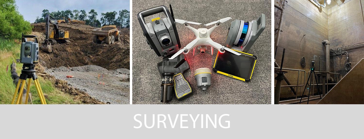
Our staff uses a wide range of proven and innovative technologies to meet even the most rigorous project schedule with the highest quality deliverables. Our advanced technology is adaptable to any environment and can be used to access dangerous and hard-to-reach sites to ensure the most thorough data collection possible. Thanks to our extensive experience and the interoperability of our technology, we have streamlined our project delivery process to provide you with the highest quality survey products in the most efficient time and budget.
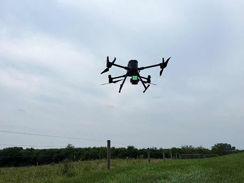
The highest quality data delivered when you need it, using the tools and techniques best suited to your particular project: that’s the foundation of our professional service to you. It’s a foundation you can build on.

Technical Capabilities

  • Land Surveying
    • Boundary (Cadastral) Surveys
    • ALTA/NSPS Land Title Surveys
    • Topographic Mapping
    • Construction Stakeout
    • Volumetric Surveys
    • Bathymetric Surveys
    • Route/Right-of-Way Surveys
    • FEMA Elevation Certifications
    • Subdivision & Land Development
    • Expert Witness Testimony
  • Unmanned Aerial Vehicles (UAV) Services
    • FAA Part 107 Commercial Pilots
    • Aerial Photogrammetry
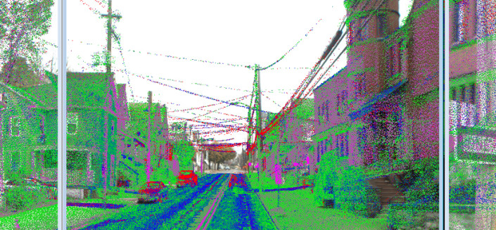
    • 3D LiDAR Topography
    • Aerial Videography
    • NVDI Analysis
    • Monitoring
  • 3D Laser Scanning
    • Exterior (Topographic)
    • Interior (Architectural)
    • Landslide & Deformation
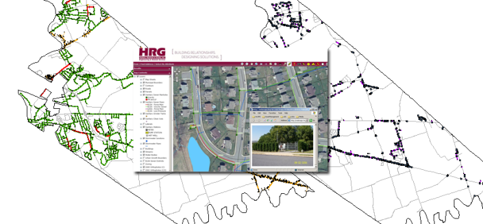
  • Geographic Information Systems (GIS)
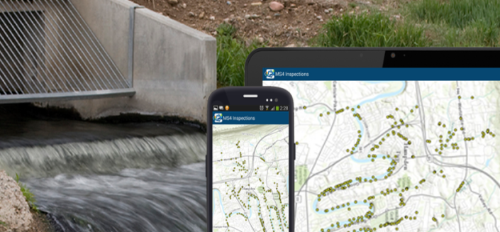
    • GPS Asset Collection
    • Data Conversion

Related Projects

Related People