Technical Capabilities
- Boundary & Topographic Surveys
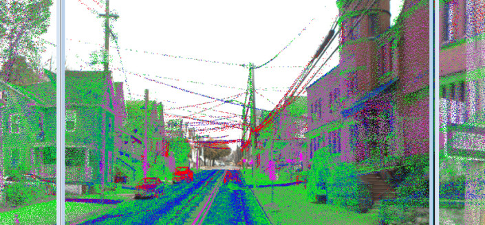
- Terrestrial Laser Scanning
- Record/As-built Surveys
- Geodetic Control Surveys
- Subdivision & Land Development
- Construction Layout Stakeout (Commercial & Residential)
- Control Surveys for Remote Sensing, Photogrammetry & LiDAR Acquisition
- Transportation Surveys
- Route/Right-of-Way & Easement Surveys
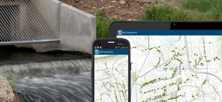
- Wetland & Drainage Surveys
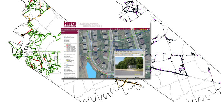
- GIS Surveys
- Field Data Acquisition for GIS Database Development
- ALTA/ACSM Land Title Surveys
- Court Exhibit Surveys
- Expert Witness/Testimony
- Stormwater Management, FEMA & Floodplain Management Surveys
- GPS Control Networks
- Utility Surveys & Mapping (Electric, Telephone, CATV, Sewer, Water, Gas)
- Video Drone Services
- Bathymetric Surveys
- Condominium Surveys
Related Projects
Related People

Michael D. Kreiger, PLS
Geomatics

Robert Quetot
Geomatics

Mark A. Saville, PLS
Geomatics
Alan L. Turner
Geomatics

