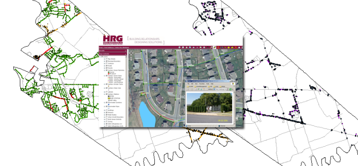
Herbert, Rowland & Grubic, Inc. (HRG) developed a Geographic Information System (GIS) for Capital Region Water (CRW) potable water, storm sewer and public sanitary sewer infrastructure networks. As CRW’s retained engineer, HRG has a long-standing relationship and has partnered to improve their water and wastewater infrastructure. The water system serves approximately 66,000 residents in the City of Harrisburg and portions of the Borough of Penbrook, Susquehanna, Swatara and Lower Paxton Townships. The combined sanitary/storm sewer system serves the City of Harrisburg; Penbrook, Paxtang and Steelton Boroughs; and portions of Susquehanna, Swatara and Lower Paxton Townships. Both systems date back to the early 1900’s with sections predating the American Civil War.
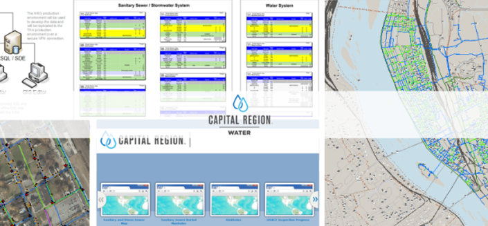
HRG assisted CRW with all aspects of the development of their GIS. The project began with a comprehensive project understanding and planning task to address the existing and future needs/wants of the GIS. In order to meet the defined goals and expectations, high accuracy base mapping including orthophotography, impervious surfaces (e.g., buildings, roads, parking lots, etc.), and surface elevations with contours were developed. Required hardware and the GIS platform (ESRI) were selected, installed and configured. An enterprise geodatabase was developed, installed, configured on SQL Server, populated and replicated as part of this project. It was then integrated with an asset management solution for extended infrastructure management capabilities as the project advanced.
Research was conducted, and discussions and demonstrations were coordinated with various asset management solution vendors in order to assist CRW staff with the selection of the “best fit solution” for their needs. The Asset Management System provided the vessel to inventory, manage, maintain, analyze and model CRW’s water and wastewater systems and enhance emergency response capabilities.
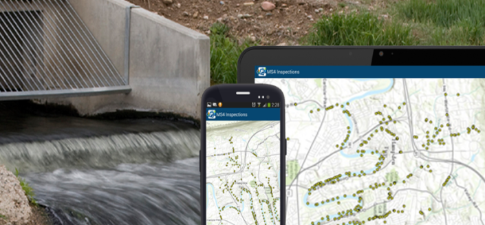
ArcGIS Online was implemented as part of the enterprise solution. Applications were developed and configured to effectively and efficiently perform tasks such as field data collection and attribution for water meters needing battery replacement.
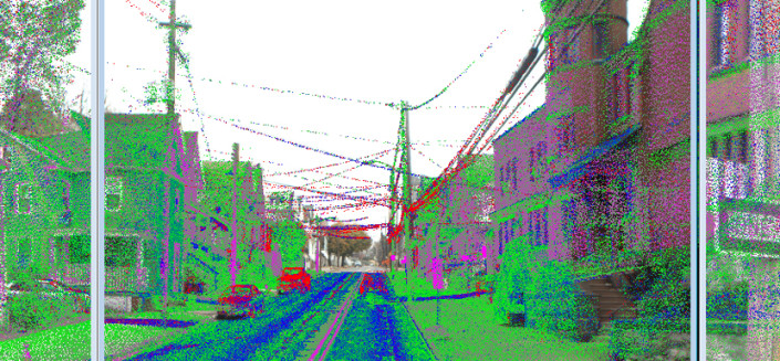
Other HRG tasks included Real Time Kinematic (RTK) GNSSS and Conventional Survey data collection of the water, sanitary, and storm sewer facilities, and managing/coordinating with the SUE (Subsurface Utility Engineering) contractor selected to perform Level B and Level A designation of the water infrastructure assets.
CRW facilities include approximately 23 miles of cross-country water transmission line, 250 miles of water distribution facilities, and 166 miles of sanitary sewer facilities. HRG’s survey crews collected over 140,000 utility features/locations for this project. Survey efforts included collecting potable water features such as mainline valves, curb-stops, fire hydrants, water lines; storm water features such as manholes, inlets, outfalls and culverts; and sanitary sewer features such as manholes, clean-outs, valves and pump stations.
As the project progressed, HRG also assisted with the selection and hiring process for dedicated CRW GIS staff. Even after the addition of new personnel, HRG continued to provide professional GIS support and collaborate with CRW staff to continue the growth, enhancement and update of the implemented GIS.


