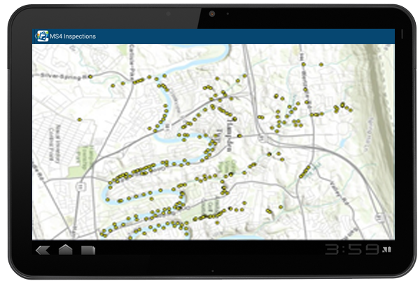
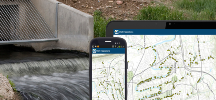
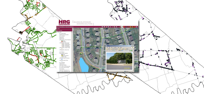
HRG assisted Hampden Township in developing a Geographical Information System (GIS) that would aid in Municipal Separate Storm Sewer (MS4) inspections. Working with Township staff, it was decided to leverage existing Township installed IT infrastructure and software to develop and implement a mobile GIS solution using ArcGIS Server and ArcGIS Online through an Android tablet.
The first step involved designing an ESRI based geodatabase that reflected the requirements defined in the Department of Environmental Protection (DEP) MS4 inspection report. Care was taken during the design phase to account for all possible inspection scenarios while minimizing the amount of fields required for data input.
Once the geodatabase design was approved, the database was developed and implemented in ArcSDE running on Microsoft SQL server and populated with existing MS4 outfall locations. Once information was uploaded into the geodatabase, feature services were created to expose and consume the data with ArcGIS Online.
With the database now accessible through ArcGIS Online, a web map and application were created that enabled staff to edit the data, regardless of whether they were connected to the local network or working remotely. Also, since most outfalls are located in remote areas with limited accessibility, it was decided to deploy an Android based tablet due to its extreme portability and low cost.
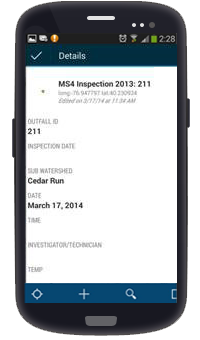
The ArcGIS for Android application was loaded on the tablet along with the ArcGIS Collector for Android application. Both applications were configured to access the Township’s ArcGIS Online Organizational account, providing the end use / field operator the ability to edit the MS4 data and take and attach photos of inspected assets while in the field.
The end result was an application that can be utilized in the field to access/update the GIS database, enter/edit the MS4 inspection data directly, and take/attach photos in the field, virtually eliminating time consuming data entry in the office. In accordance with MS4 documentation requirements, the end data product is used to generate reports directly out of ArcGIS for inclusion in the Township’s MS4 report.


