QUALIFICATIONS & EXPERIENCE YOU CAN TRUST
HRG’s surveyors are licensed in Pennsylvania, Ohio, West Virginia, Delaware, New Jersey and Virginia. Our team has more than 35 years of experience.
QUALITY, RESPONSIVE SERVICE
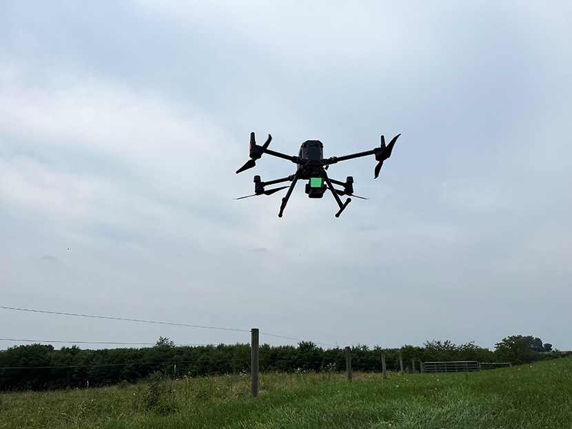
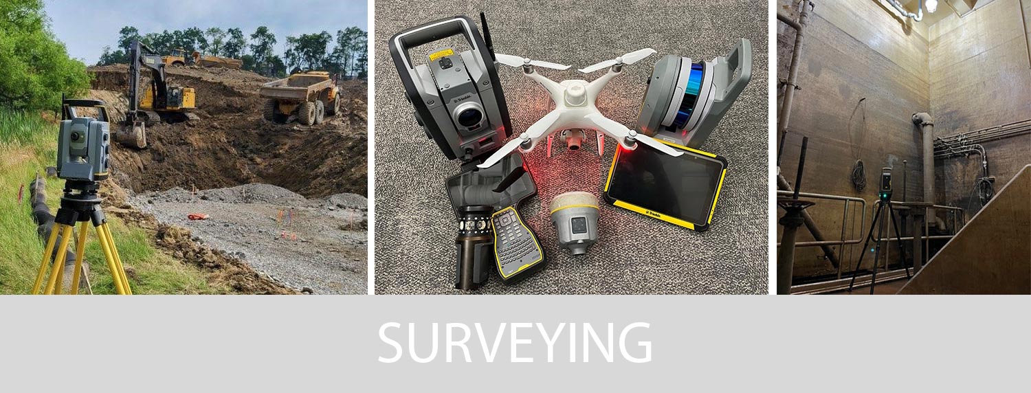
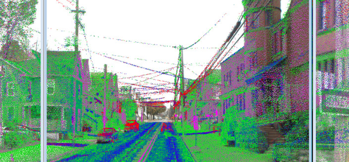
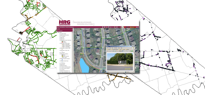
Our staff uses a wide range of proven and innovative technologies to meet even the most rigorous project schedule with the highest quality deliverables. Our advanced technology is adaptable to any environment and can be used to access dangerous and hard-to-reach sites to ensure the most thorough data collection possible. Thanks to our extensive experience and the interoperability of our technology, we have streamlined our project delivery process to provide you with the highest quality survey products in the most efficient time and budget.
